Jump to navigation
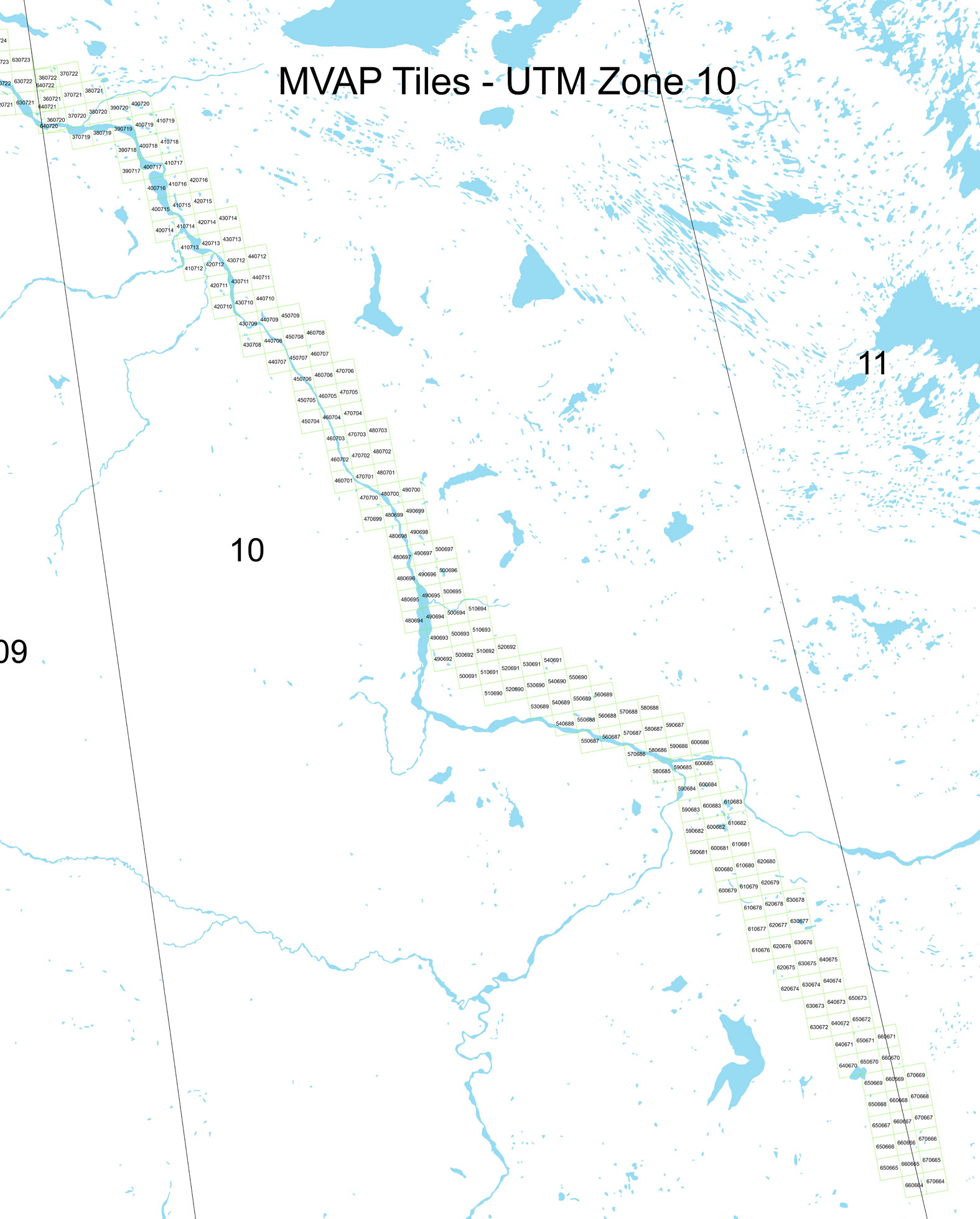
Mackenzie Valley Air Photo Digital Orthotiles
OziExplorer 1: 250 000 Scale Canmatrix Base Map
OziExplorer 1: 250 000 Scale JOG Base Map
OziExplorer 1: 250 000 Scale Toporama Base Map
OziExplorer Tourist Map
OziExplorer 1: 500 000 Scale VNC Base Map
OziExplorer 1: 1 000 000 WAC Base Map
Department of ENR/ITI Administrative Boundaries
Ecologically Based Landscape Classification Data
Coal Exploration Licences
Mineral Claims
Mining Leases
Prospecting Permits